The Japanese could intercept Allied radio traffic, but they lacked the computational resources and personnel to break complex Allied codes like Naval Cypher No. 5. Their cryptanalytic efforts were centralized and bureaucratically fragmented, lacking the scale and success of U.S. or British efforts. As a result Japan remained largely blind to Allied operational planning, especially in the Central Pacific campaigns. In addition, their intelligence analysis and interpretation – especially on a strategic level – was hindered by their rigid military culture and intense rivalry between the Army and Navy. Their military intelligence units operated as though in silos. Intelligence was often ignored or suppressed if it conflicted with existing assumptions or the wishes of senior commanders who operated on biases about the lack of a warrior spirit among allied soldiers and sailors. The senior commanders also underestimated American industrial strength, technological innovation, and the ability to sustain large-scale operations across the Pacific.
But it does not mean they were uninformed.
After years of fighting against MacArthur in the Southwest Pacific. They knew his playbook – not that they could stop it – but they learned how to extract a price. The Battles of Biak, Saipan and especially Peleliu gave them the battle strategy. They also knew that MacArthur never took on the next battle until he had built Army Air Force fields to provide strategic and tactical air cover for the next invasion. The Japanese correctly assessed that once the Marianas were taken (Guam, Saipan and Tinian), the next invasion would be Philippine/Formosa, then Iwo Jima, then Okinawa, then Kyushu.
What the Japanese needed was time to fortify Iwo Jima and Okinawa as they had done at Biak and Pelellui: massively built up concealed caves and interconnecting tunnels, interlocking fields of fire, all fortified to withstand pre-invasion air and naval shore bombardment. The beaches would not be defended; the killing zone would be inland. The same plans were being made for Kyushu.
In the summer of 1944 as the Marianas were being invaded and secured, planners were considering the next “big effort.” For a host of reasons, some strategically sound but many tied to his own personal connection to the Philippines and his vow, “I shall return,” MacArthur wanted Leyte in the Philippines to be next. Nimitz and his boss Admiral King wanted the target to be Formosa. The process by which they decided to go next to the Philippines is fascinating, but there was another alternative.

Admiral Raymond Spruance wanted Iwo Jima to be next, and simply bypass the Philippines. I mention this because if we had indeed invaded Iwo Jima in October 1944 (instead of Leyte), the Japanese would not have been able to fortify Iwo Jima. In addition, Iwo Jima was too far from land-based Japanese airfields. Leyte on the other hand suffered from Japanese Army air force coverage coming from the nearby island of Luzon.
But by February 1944, the island’s defenses were ready and Iwo Jima became one of the bloodiest campaigns of the Pacific War. That would have moved up the campaign for Okinawa providing less time for their defensive buildup. As mentioned, Japan knew the MacArthur playbook.
If “past is prelude for the future” – then Japan knew the general shape of the Kyushu invasion – and they had “home field advantage” – they knew the shape and landscape of southern Kyushu. As history will show, the Japanese correctly assessed the three beach landing places where allied soldiers would come ashore. While the Miyazaki area on the east coast offered long, flat coastal plains with wide sandy beaches, the terrain rose to hills, foothills, ridges and the Kyushu Mountains. Conditions were generally favorable for the first 10 miles inland and then the obstacles began: rivers, narrow approaches, terraced rice fields, and extensive opportunity for concealed fortifications.
The other two landing spots, Ariake Bay and Kushikino, were less favorable landing areas with more immediate obstacles and limited avenues of approach. And there was no practical way to form a single beachhead for supportive movement and combat.
Why these three beaches? Because they were the areas that could support the construction of airfields. The fortification of southern Kyushu began in January 1944. They were intent on repeating the defense of Peleliu, Iwo Jima and Okinawa – all in the hope to weaken Allied resolve and bring the Allies to a negotiated peace. Post-war interviews and on-site inspections revealed that Japanese defensive preparations near the beaches slated for Operation Olympic were 60–90% complete by war’s end. These included underground bunkers, tunnels, and reinforced positions in limestone and lava terrains—leveraging natural caves and rock formations.
But there was also the development of the Special Attack Units – the varied kamikaze units – which we talk about next.
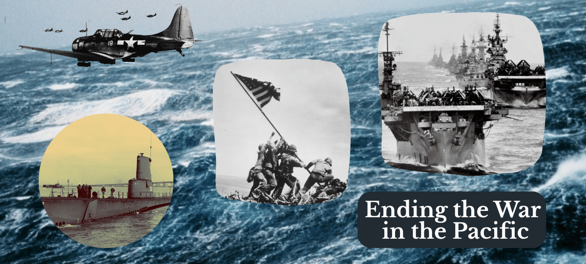
Image credit: various photographs from Naval Aviation Museum, National World War II Museum, and US Navy Archives.
Discover more from friarmusings
Subscribe to get the latest posts sent to your email.
